I spent much of September exploring southern Indiana during our annual trip back to the region where Theresa and I were born and raised. Theresa was born in Evansville, and I was born in Washington.
One of my lifelong hobbies has been researching family history. Over the decades, I’ve built a sizable family tree, with plenty of names, dates, and places.
But something has changed.
Over the past several years, I’ve become less interested in simply adding more names to my family tree and more interested in discovering the stories behind those names.
Who were these people? How did they live? Why did they leave one place and settle in another? What routes did they travel? What opportunities, hardships, and circumstances influenced the decisions they made?
In other words, I’m becoming more interested in their lives than in their names.
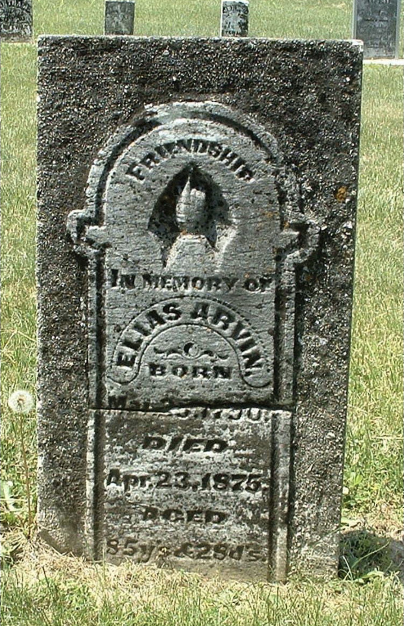
One of those names is Elias Arvin, my third great-grandfather on my dad’s side of the family.
Elias is buried in Old Union Cemetery near Alfordsville, Indiana. I discovered that he was born in Maryland and served as a soldier during the War of 1812. His older brother, Henry Arvin, also served during that war.
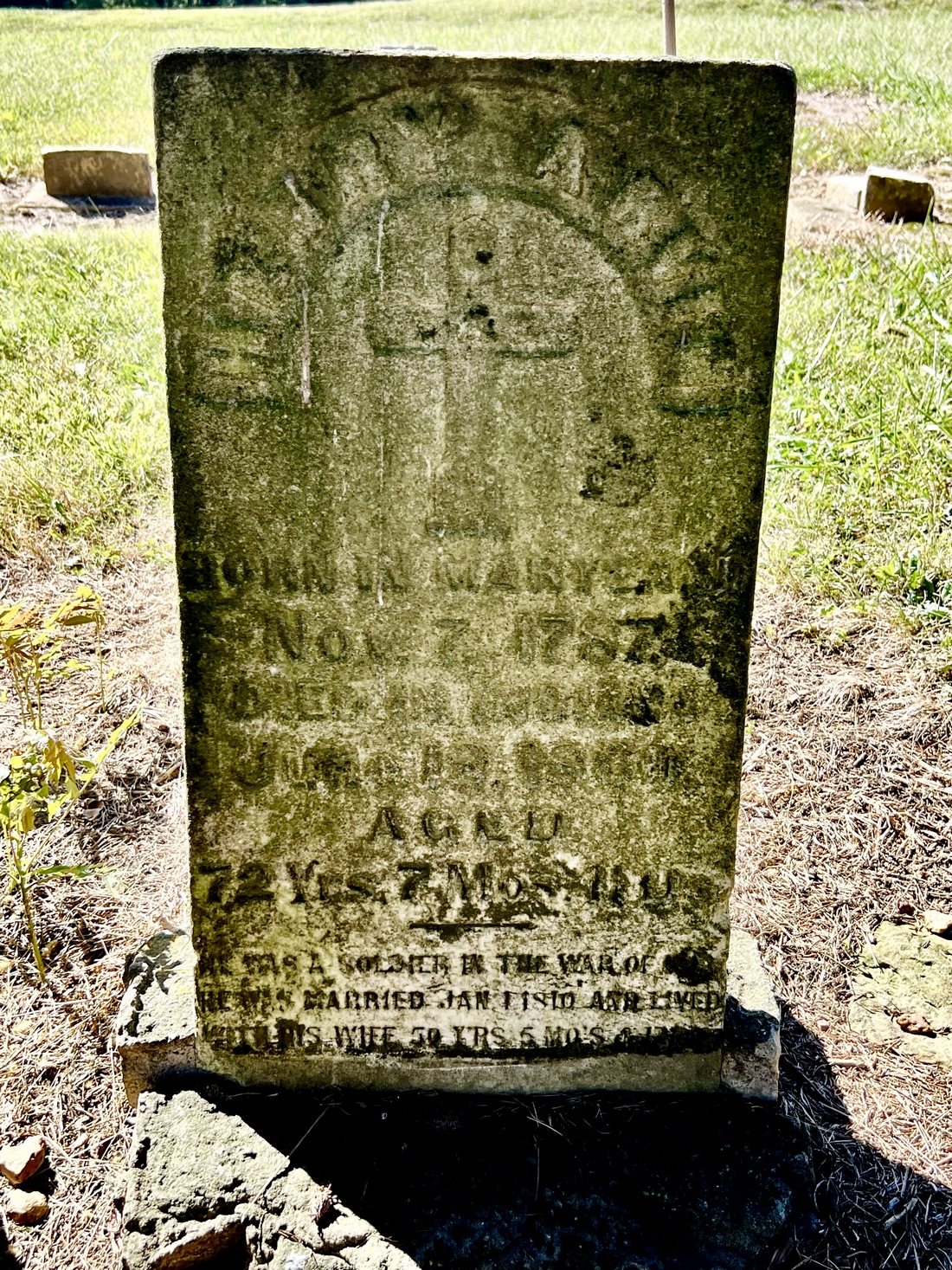
Following the war, both brothers and their families left Maryland and moved to Kentucky, where they lived for several years before eventually receiving land grants in southern Indiana.
And that got me wondering.
How did they get from Kentucky to Indiana?
Today, we simply get into our cars, enter a destination into our GPS, and follow the directions. But in the early 1800s, getting from one place to another was a very different undertaking.
What roads existed? Were they really roads, or simply trails through the wilderness? How did families transport their belongings? Where did they cross the rivers? And why did they choose to settle where they did?
Those questions led me to begin researching the early roads, trails, and river crossings of southern Indiana.
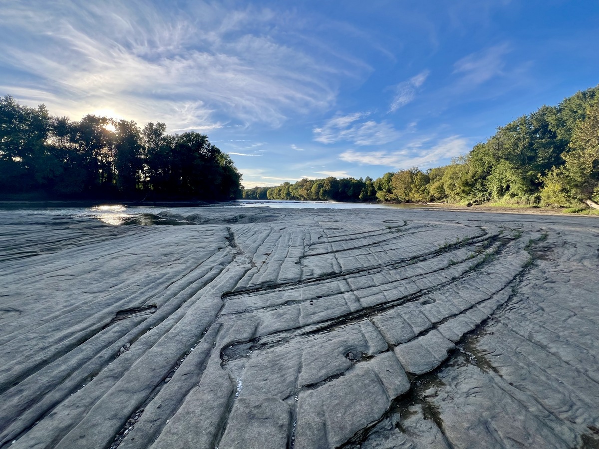
And that led me to a fascinating place called Hindostan, an early settlement along the East Fork of the White River.
Hindostan has a history of its own, involving early settlement, transportation, commerce, disease, and eventually the disappearance of a once-promising community.
But what especially caught my attention was the landscape itself.
The river, the exposed bedrock, the surrounding hills, and the natural features that influenced where people traveled and settled.
Suddenly, I wasn’t just researching my ancestors. I was exploring the relationships between people and the natural world they inhabited.
And I began to realize that the same questions I was asking about my ancestors could be asked about almost any community, landscape, or place we encounter today.
Why is it here? How did it get this way? What natural and human-created systems influenced its development? And what can we learn by paying attention?
What began as a search for a name on a family tree has become an exploration of history, geography, nature, and the decisions people made more than 200 years ago.
It’s both an old story and a new adventure for me.
And I’ve discovered something else along the way.
The more I discover, the more I discover there is to discover.
I suppose that’s what happens when you start paying attention, asking questions, and following your curiosity wherever it takes you.
And, in my case, it sometimes takes me right back to where I started.
Only now, I see the place a little differently.
 There are several places around the Dodson Family Camp that we try and visit each year that we are in the area. Most of them are places that my Dad and Mom also liked to visit often and when there were living, we all went together each visit to see if everything still looked the same from year to year and to think back about days long gone. It is interesting to think about how important nature was to those frontier people when they were settling America. And back then the “highways” toward progress always were connected with rivers.
 One of those places has always been fascinating to me. I have often thought that the story of Hindostan, Indiana could form the foundation for a great novel. I know that there have been many booklets written about the place, but as far as I know, there has never been an actual novel about the place or the people who lived there.
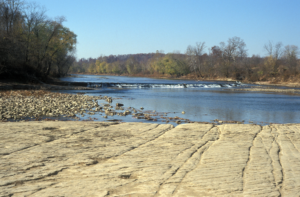
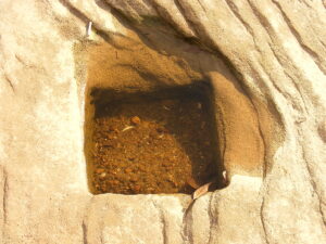 When Hindostan was “booming” there was a large mill located directly on a rock outcropping in the river. And when the water is low one can still see where the posts that supported the mill were located. Over the years this stretch of the river has always been a popular fishing spot too.
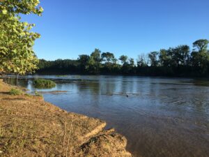 borne illnesses were the bane of many towns on the Midwestern frontier. Situated along rivers for the purpose of easy transportation, towns were often built on flood plains that bred insects in huge numbers. The ferocity of the epidemic that struck Hindostan, however, caused the population to succumb to disease or abandon the area. By 1824, less than half the population remained in Hindostan, though many seem to have stayed in the county.
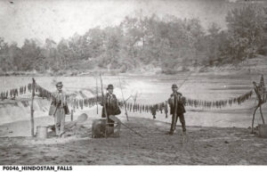 Fishing near Hindostan Falls has always been a popular pastime. And the State of Indiana has created a boat launch above the falls so that boaters and people who enjoy fishing can easily access the water.